Maps and Data for Insight & Action
Mērak Labs empowers organizations with actionable insights to build resilient, sustainable futures.
Partners and
clients




Make resilience actionable.
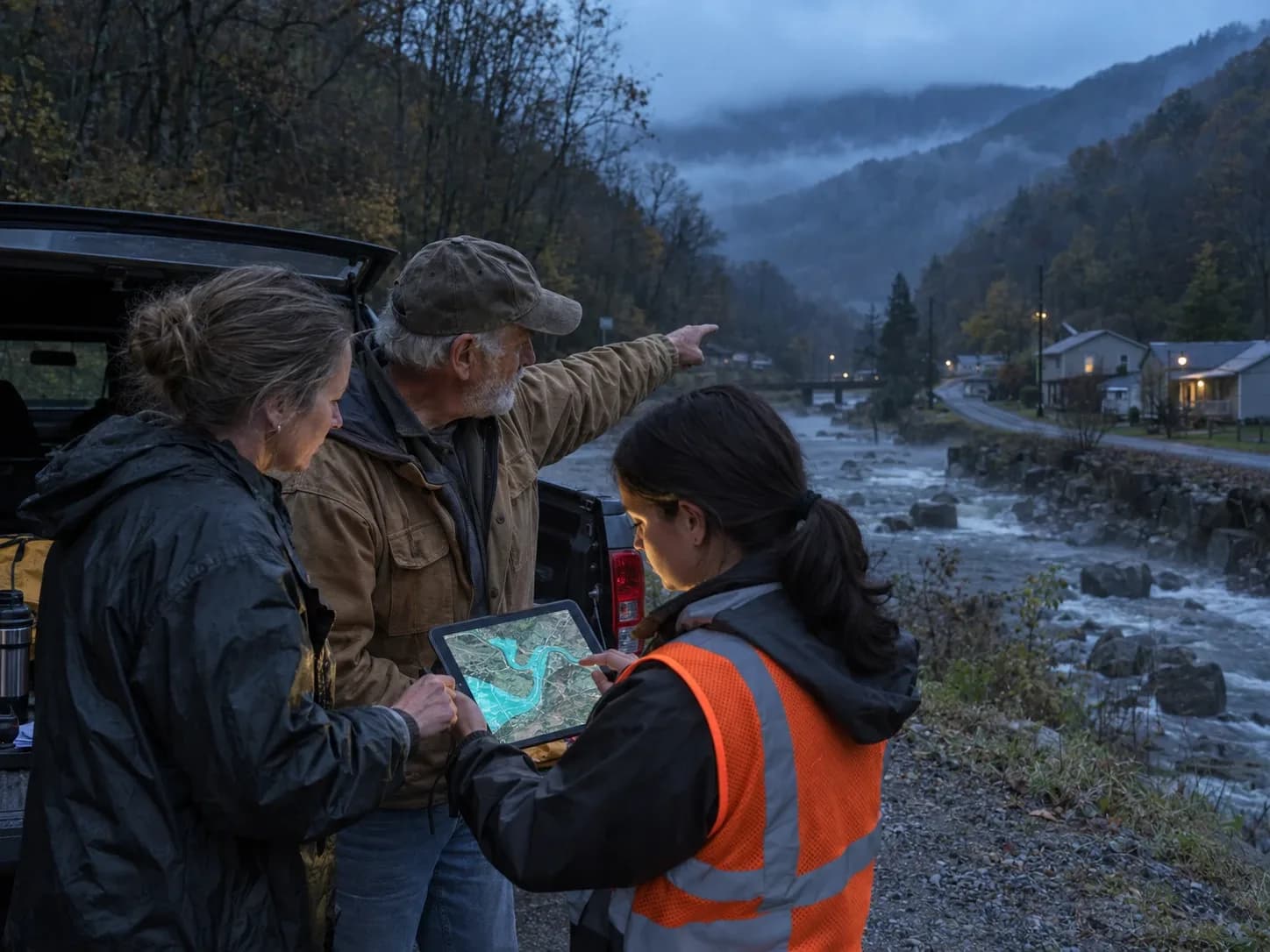
Mērak Labs is a resilience analytics company. We help communities plan for the future they want instead of reacting to what comes. Local leaders, planners, and residents use our work to understand their risks, prepare early, and make a clear case for the funding and investment they need.
Identify
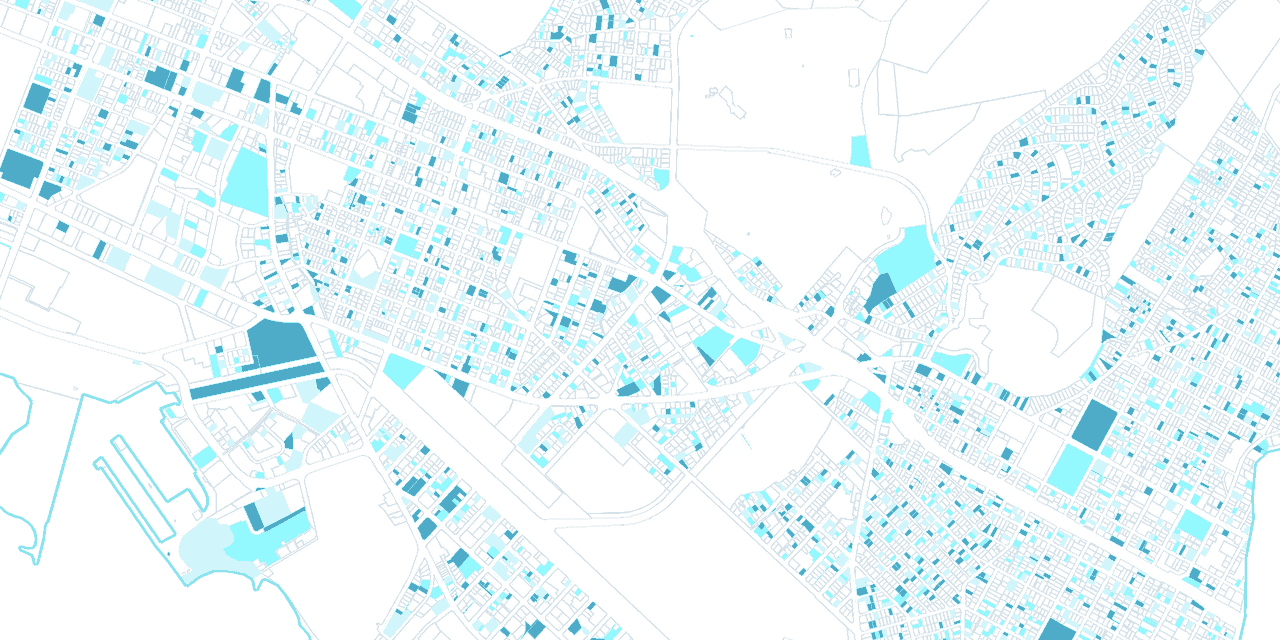
Map risk parcel by parcel, combining local knowledge with infrastructure, environmental, and social data.
Prioritize
Rank where action will do the most good, so limited budgets go to the places that need them first.
Act
Deliver practical, low-cost strategies and the evidence to justify the investment.
What we build
Four ways we help communities see what’s at stake, decide what to do first, and put resources where they’ll do the most good.

Risk analysis
Parcel-level analysis of the risks a place faces, from flooding, heat, and water quality to housing, economic, and social vulnerability.

Monitoring and insight
Sensors, gauges, weather services, and field data brought together into timely information a community can act on.

Data platforms
Custom web apps and dashboards that put parcel, county, and field data in front of the people making decisions.
In practice: Lighthouse, PRSound Science, Project Guardian
Adaptation planning
Practical, prioritized strategies, from green stormwater retrofits to housing and land-use decisions, shaped with local input and backed by evidence funders trust.
“We were blown away. This was the first time we had access to something this comprehensive, accurate, and immediately useful for a community like ours. It mapped flooding and the downstream effects—landslides, mine blowouts, debris risks—and helped us see exactly where to act. The team’s responsiveness made all the difference. This is the kind of work small communities truly need.”
“This data solution can help us create a more inclusive financial system that removes systemic disparities.”
Let’s talk about your project
Tell us about the place and the problem you’re working on.